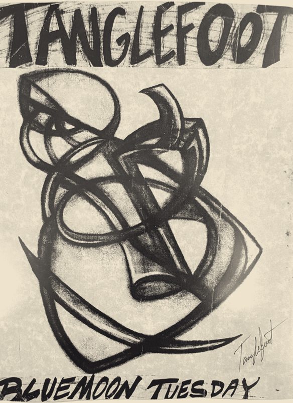
TANGLEFOOT
Boating conditions and trip plans for OTIUM (soon to be renamed TANGLEFOOT), a Bayliner 3288 in a slip at the Port of Everett.
6 straight days in the green band, Oct 10–15, with Tuesday the 13th the standout
Next good day Sat Oct 10 · 7 good days in 14
3 trips on file.
8 lists and 6 emergency procedures, with the reasoning kept in.
Tick them on a phone, or print them for the helm.
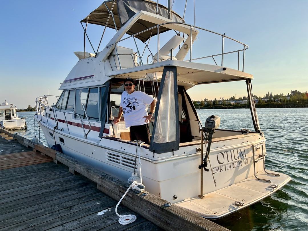
At the slip
KWAEVERE370 aboard, at the Port of Everett. The only measured numbers on this site — everything else here is model or forecast. Station dashboard ↗
Last updated 2026-10-06 15:27:00 · just now. The station reports every few minutes and this panel is refreshed every five minutes, separately from the rebuild every hour that produces everything else on this page.
What the forecast said, against what the station recorded
Across 14 completed days the forecast peak runs low by 3.9 kt on average, and is out by 6.6 kt on a typical day
| Day | Forecast peak | Station gust | Over | Forecast peak from |
|---|---|---|---|---|
| 2026-10-05 | 6.0 | 10.4 | -4.4 | recorded on the day |
| 2026-10-04 | 5.2 | 7.0 | -1.8 | recorded on the day |
| 2026-10-03 | 10.0 | 15.6 | -5.6 | recorded on the day |
| 2026-10-02 | 7.0 | 8.7 | -1.7 | recorded on the day |
| 2026-10-01 | 5.1 | 13.9 | -8.8 | recorded on the day |
| 2026-09-30 | 10.0 | 14.8 | -4.8 | recorded on the day |
| 2026-09-29 | 25.0 | 21.7 | +3.3 | recorded on the day |
| 2026-09-28 | 15.9 | 24.3 | -8.4 | recorded on the day |
| 2026-09-27 | 15.0 | 20.0 | -5.0 | recorded on the day |
| 2026-09-26 | 10.0 | 16.5 | -6.5 | recorded on the day |
| 2026-09-25 | 40.0 | 24.3 | +15.7 | recorded on the day |
| 2026-09-24 | 10.0 | 19.1 | -9.1 | recorded on the day |
| 2026-09-23 | 7.6 | 15.6 | -8.0 | recorded on the day |
| 2026-09-22 | 6.2 | 15.6 | -9.4 | recorded on the day |
Forecast peak is the model’s highest hour for home water that day, written down on the day it applied to. Station gust is the station’s own maximum for that day, fetched once the day was over — not a sample, and not a running total. Only completed days appear.
Built from NOAA tide and current predictions, NWS coastal zone forecasts and the MET Norway model. Not an official forecast — there is no Coast Guard wind limit for recreational boats, and the one official threshold is the NWS Small Craft Advisory at 20–33 kt sustained. The limits used here sit at roughly half that: a comfort line, not a safety one. Seasons are verified by hand for Marine Area 8-2 only — confirm everything with WDFW and the DOH shellfish safety map.